CTUIR Fish Habitat Restoration in the John Day River Basin
In 2000 CTUIR received mitigation funding from Bonneville Power Administration to work with private and public landowners within the N.F. John Day River Basin to offset for the construction and operation of hydropower dams. This builds upon previous efforts in other basins across CTUIR’s ceded territories in support of CTUIR’s Department of Natural Resources mission to; “protect, restore, and enhance the First Foods – water, salmon, deer, cous, and huckleberry – for the perpetual cultural, economic, and sovereign benefit of the CTUIR. We will accomplish this utilizing traditional ecological and cultural knowledge”
Funding from Bonneville Power Administration and competitive grant awards enhances CTUIR’s ability to sustain their culture while working with public and private entities to improve land management practices and provide salient benefits to the landowner while improving ecological systems.
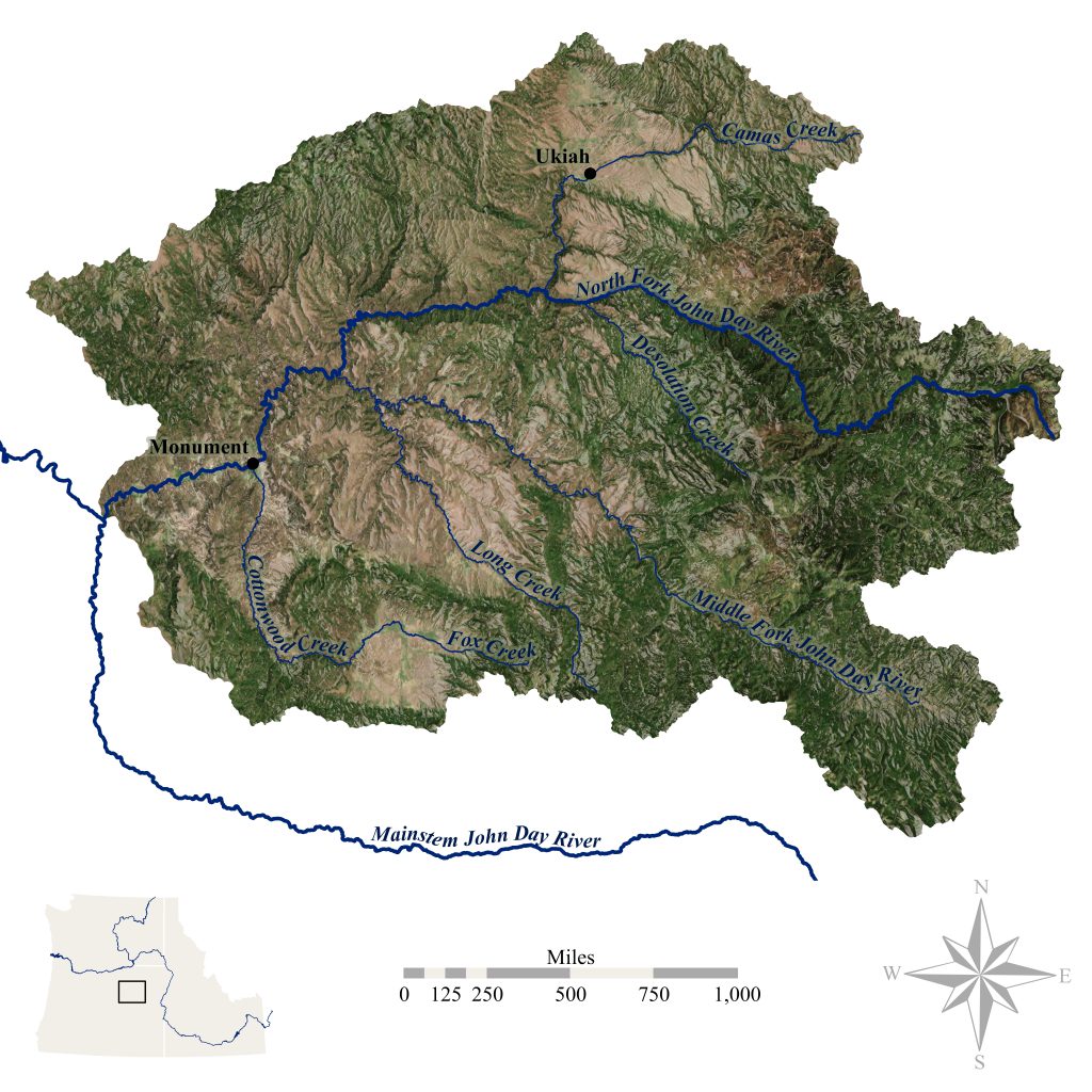
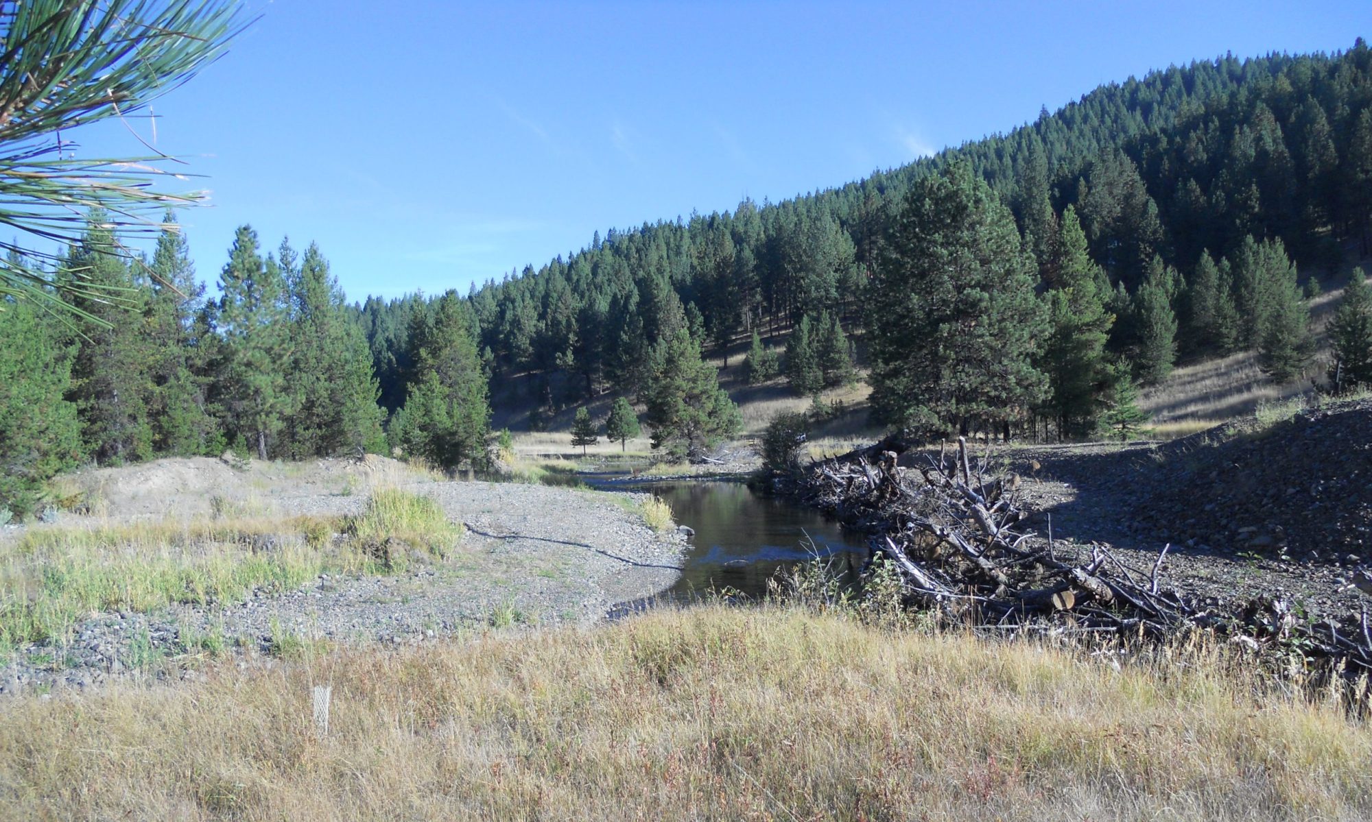
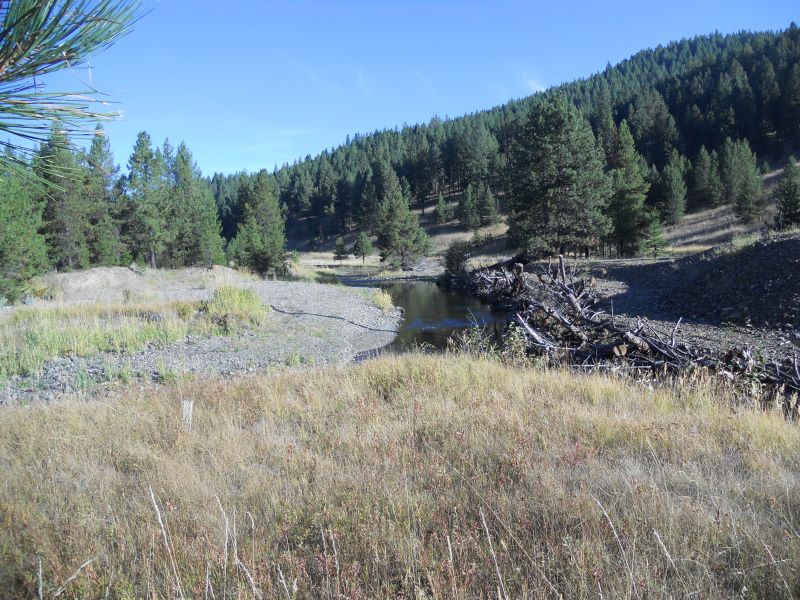
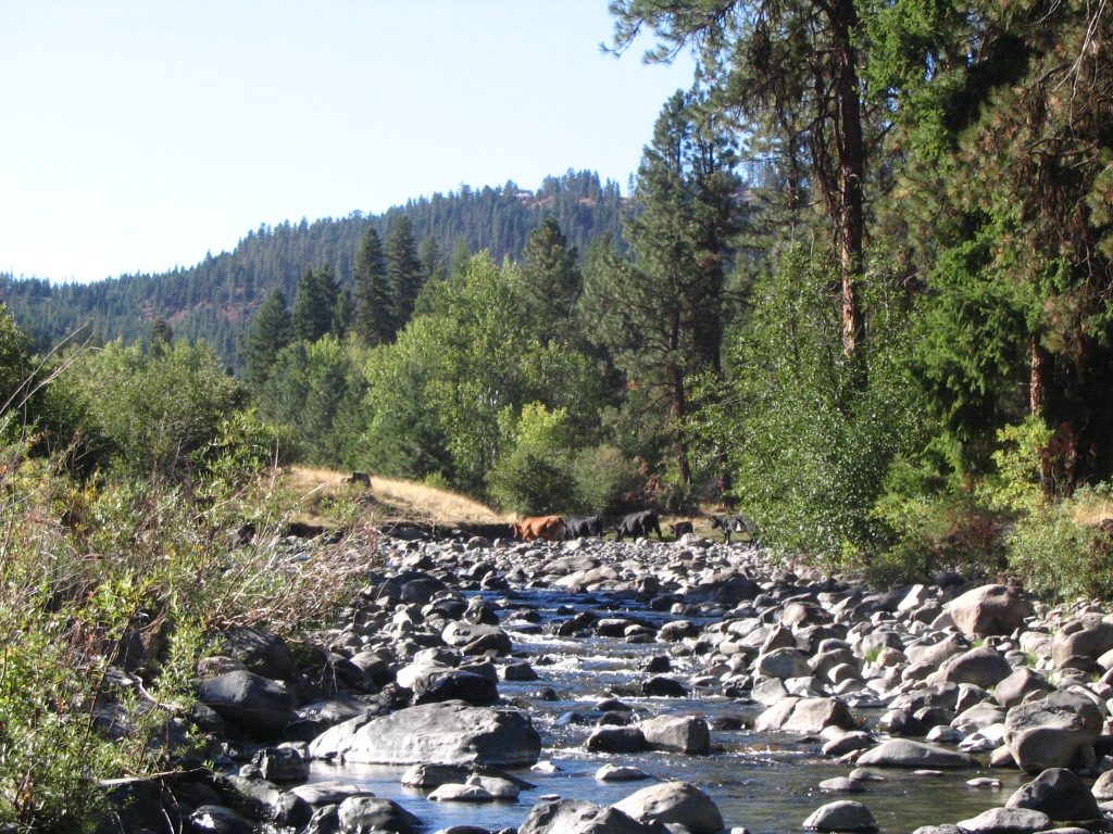
The NFJD River is the largest tributary to the John Day River flowing westerly for 180 kilometers to join the mainstem John Day River near Kimberly, Oregon. The NFJD River’s basin covers 47,885 square kilometers consisting of 37% private, 62% federal, and 1% state lands. The NFJD has been designated as a Wild and Scenic River from Camas Creek upstream to the head waters including one portion classified as “Wild,” two as “Scenic,” and two as “Recreational.” These segments are primarily managed by the UNF and WWNF. State Scenic Waterways designated by the State of Oregon, stretch from Monument, OR upstream to the NFJD Wilderness boundary and from the confluence with the North Fork John Day River upstream to the Crawford Creek Bridge on the Middle Fork John Day River. The Middle Fork John Day River (MFJD) flowing into the NFJD is generally considered and primarily managed as a separate system by ODFW and the Confederated Tribes of the Warm Springs Reservation of Oregon. The NFJD contains fifteen 5th Field HUC’s of which four, the Upper and Lower Camas Creek, Desolation Creek, and Granite Creek units are considered ‘priority’ areas for the purpose of concentrating the Project’s restoration efforts.
Read more about what is being done.
Read about what is being done to restore fish habitat in the basin.
Measurable Results
The restoration efforts in the John Day River Basin are substantial. Here are some of our measurable accomplishments.
Featured Projects
Here are some of our featured restoration projects. Click the image for more information or view all projects.

Project Goal
To protect, enhance and restore functional, healthy and sustainable floodplain, channel and watershed process for the purpose of protecting and restoring fisheries and aquatic species in the North Fork John Day Subbasin.Project Objective
The N.F. John Day Habitat Improvement Project strives to implement actions that address core physical and biologic processes identified in the Umatilla River Vision thereby enabling the reestablishment of the CTUIR's First Foods. Treatments will be specific to the needs of project sites with consideration of processes tied to the larger watershed and past and present land management strategies.Project Funders
| Funder | Funding Amount |
|---|---|
| Oregon Watershed Enhancement Board | $6,540,087 |
| Bonneville Power Administration | $3,890,593 |
| CTUIR | $1,402,454 |
| Eco Trust | $333,771 |
| Umatilla National Forest | $315,836 |
| NF John Day Watershed Council | $194,868 |
| Wallowa Whitman National Forest | $176,773 |
| Bella Viata Funds | $40,243 |
| CRITFC | $25,000 |
| US Forest Service | $24,400 |
| Pacific Coast Salmon Recovery Funds | $20,510 |
| National Forest Foundation | $10,000 |
| $4,840 | |
| Natural Resource Conservation Service (NRCS) | $2,500 |
| Trout Unlimited | $2,500 |
| Oregon Department of Fish and Wildlife | $1,400 |
| Permittees | $500 |
Project Partners
